Free Northern California Trail Maps
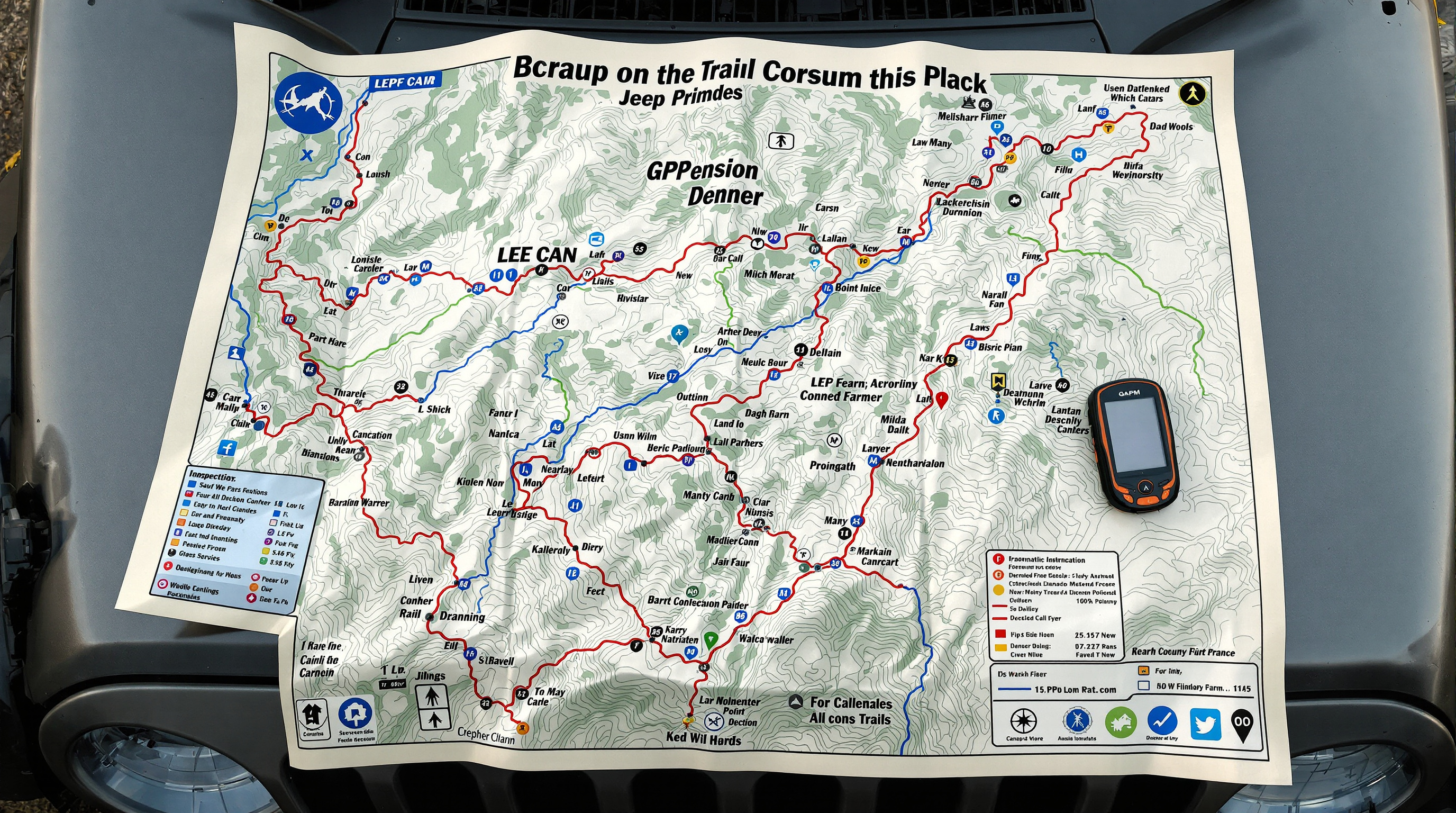
California Jeeper provides free downloadable trail maps for Northern California's most popular off-road routes. Each map includes GPS waypoints, obstacle locations, trail ratings, and important landmarks. All maps are available in PDF format for easy printing or loading onto your GPS device.
How to Use Our Trail Maps
Our maps are designed to work alongside GPS navigation, not replace it. We recommend:
- Print a paper copy as backup (batteries die, electronics fail)
- Load GPS waypoints into your device before leaving cell service
- Study the map before your trip to familiarize yourself with the route
- Share maps with all vehicles in your group
- Note alternate routes and bailout points
Always supplement our maps with official National Forest maps from the U.S. Forest Service and current trail condition reports.
Available Trail Maps
Rubicon Trail Map
The legendary Rubicon Trail from Loon Lake to Tahoma, including all major obstacles: Cadillac Hill, Little Sluice, Big Sluice, and Soup Bowl. GPS coordinates for Rubicon Springs, Ellis Creek, Buck Island Lake, and key decision points. Download Rubicon Trail Map
Fordyce Creek Trail Map
Detailed map of the Fordyce Creek trail system northeast of Cisco Grove. Includes both the main Fordyce route and connecting trails to Meadow Lake and other destinations. Obstacle locations, water crossing points, and camping areas marked. Download Fordyce Creek Map
Dusy Ershim Trail Map
High-altitude adventure from Courtright Reservoir to Dusy Basin. This multi-day trail requires significant preparation. Map shows critical waypoints, camping locations, water sources, and the famously challenging Dusy Ershim obstacle sections. Download Dusy Ershim Map
Barney Riley Trail Map
Moderate difficulty trail perfect for intermediate wheelers. Map includes both the main route and optional spurs, obstacle bypasses, and scenic viewpoints. Good trail for honing skills before attempting extreme routes. Download Barney Riley Map
Deer Valley Trail Map
Beginner to intermediate trail with multiple difficulty options. Our map shows easy and moderate route choices, allowing you to tailor the experience to your vehicle and skill level. Download Deer Valley Map
Slick Rock Road Map
Scenic trail combining beautiful mountain views with technical granite slab sections. Map highlights the slick rock areas that give the trail its name, plus camping and turnaround points. Download Slick Rock Road Map
Pardoe Trail Map
Tahoe National Forest trail featuring excellent rock crawling without Rubicon-level crowds. Map shows main obstacles, connecting trails, and access points. Download Pardoe Trail Map
Corral Hollow Map
East Bay area trail perfect for day trips and novice wheelers. Map includes multiple routes of varying difficulty within the Corral Hollow system. Download Corral Hollow Map
Understanding Trail Map Symbols
Our maps use standard trail mapping conventions:
- Solid Line - Main trail route
- Dashed Line - Alternate route or bypass
- Red Markers - Difficult obstacles
- Yellow Markers - Moderate obstacles
- Blue Markers - Water crossings
- Green Markers - Camping areas
- Triangle - Trailhead or access point
GPS Waypoints and Coordinates
Each map includes GPS coordinates in both decimal degrees and degrees/minutes/seconds format for compatibility with various devices. Waypoints mark:
- Trailheads and parking areas
- Major obstacles and named features
- Water crossings and creek fords
- Camping areas and rest stops
- Bailout points and alternate routes
- Key intersections and decision points
Trail Ratings on Maps
We use a 1-10 difficulty rating system:
- 1-3: Maintained dirt roads, stock SUV capable
- 4-6: Moderate trails, lifted vehicle with good tires recommended
- 7-8: Difficult trails, modified vehicle with lockers suggested
- 9-10: Extreme trails, highly modified vehicle and expert skills required
For detailed explanation of our rating system, visit the trail rating system page.
Keeping Maps Current
Trail conditions change due to weather, maintenance, and natural events. While we strive to keep maps updated, always:
- Check with local Forest Service offices for current conditions
- Join online forums for recent trail reports
- Contact local 4x4 clubs for insider information
- Be prepared for closures or reroutes
Submitting Trail Information
Have you run a trail recently and noticed changes? Found a new obstacle or route? We welcome updates from the community. Visit our submit a trail page to share your information and help keep our maps current.
Using Maps Responsibly
Remember that maps are tools to help you navigate safely - they don't replace good judgment. Always:
- Scout obstacles before attempting them
- Have a backup navigation method
- Tell someone your planned route and return time
- Be prepared to turn back if conditions exceed your abilities
- Stay on marked trails - don't create new routes
These free maps represent hundreds of hours of GPS data collection and field verification. We hope they enhance your California off-road adventures!